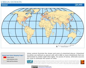
If you’re teaching, learning, or working on a project that requires you to find resources on population density, make sure you check out the Global Rural-Urban Mapping Project (GRUMP) hosted at Columbia University. They compile data from NASA nighttime photos from space to create maps of where people are located (the same method used in ZBL Project 01 and Dead Reckon).
Take a look at the site and browse some of the awesome maps they have. If you are doing any research of a country, these maps will be valuable to you. You can even register to download specific data.
Maps » Population Density Grid, v1: Global Rural-Urban Mapping Project GRUMP, v1 | SEDAC.
